Hanover Engineering provides consulting engineering services to the Bear Creek Lakes Civic Association located in Penn Forest Township, Carbon County, PA. Bear Creek Lakes is a residential community consisting of permanent residences and vacation homes surrounding a man-made lake. The lake is approximately 160 acres in size and provides both recreational and aesthetic value to the community.
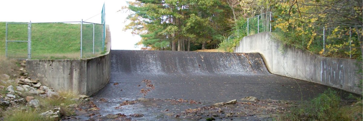
Due to the Department of Environmental Protection’s (DEP) classification of the lake as a high hazard dam, Bear Creek Lakes is required to develop an Emergency Action Plan (EAP) to identify potential emergency conditions and coordinate responsibilities of individuals and emergency organizations in the event of a dam failure.
A major component and requirement of the EAP is the development of a downstream Flood Inundation Map. This map defines the limits of maximum flooding that would result in the event of a failure of the dam. Flood levels are calculated by completing a breach analysis, which also contains other information including traffic control points and emergency shelter locations.
As the area surrounding the lake continues to change and be further developed, the EAP and Flood Inundation Map must also be updated to reflect these changes. After several years of developing and updating the plan on their own, Bear Creek Lakes contacted Hanover Engineering to assist with keeping the EAP compliant with current DEP standards. Initial work to update the plan included reviewing historic maps and analysis reports. Through coordination with DEP and County officials, Hanover Engineering was able to develop a Flood Inundation Map using current data.